About Outdoor Atlas
Outdoor Atlas is thought to be the companion for all your outdoor activities. It supports you offroad where classical street maps and navigation are of no help. With the built-in GPS, Outdoor Atlas always shows you your...
Outdoor Atlas is thought to be the companion for all your outdoor activities. It supports you offroad where classical street maps and navigation are of no help.
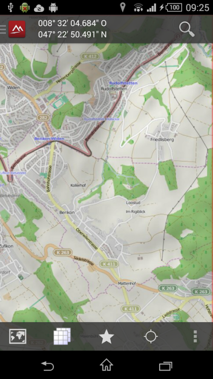
With the built-in GPS, Outdoor Atlas always shows you your actual position on detailed topographic maps together with appropriate coordinates. The maps are downloaded once on request and stored locally to be used when no GSM connection is available. Currently, following maps are provided:
✔ OpenStreetMap
Additional professional maps can be bought as In-App products. Currently available:
✔ Britain (Ordnance Survey maps)
✔ North America Maps (myTopo maps, installable as plugin)
✔ New Zealand (NZTopoMaps, installable as plugin)
✔ Spain (IDEE maps, installable as plugin)
✔ Norway (Statens kartverk, installable as plugin)
✔ Finland (installable as plugin)
Application features:
✔ Supports internal and external (Bluetooth) GPS devices
✔ Supports built-in digital compass, respects declination
✔ Import / export tracks, waypoints in GPX or XOL format into internal database
✔ Built-in track editor, fully routing-capable
✔ Support WGS84, UTM, OSGrid, TM35FIN, SWEREF99 TM and LV03 coordinates
✔ Download map tiles once and use them offline
✔ Moving-Map mode (keep your position always centered on the screen)
✔ Search geolocations by names and address
✔ Retrieve geoinformation for position
✔ Use favorites to quickly jumpt to specific map, position, scale & layer
✔ TrackLog recording in background
✔ Follow-route mode (useful when visibility is bad)
✔ Goto-Waypoint mode (useful for geo-caching to find exact location)
✔ Infopanel shows you up-to-date information about position, tracklog and waypoint parameters
✔ Browse through the tour database with over 30'000 suggestions for outdoor adventures(hiking, cycling, mountain biking, inline skating, mountaineering, jogging etc.) in the Alps incl. tracks and desciptions.
✔ Browse tour reports from hikr.org
✔ In-App Shop to buy professional maps and app extensions (plugins)
✔ Synchronize your local track data with your favorite web portal, currently supported are SchweizMobil, outdooractive and gpsies.com
Please Note:
This app is going to be decommissioned on 31th of December 2019.
Previous Versions
Here you can find the changelog of Outdoor Atlas since it was posted on our website on 2013-08-21 21:41:41.
The latest version is 2.0.2.4 and it was updated on 2024-04-23 10:03:49. See below the changes in each version.
Outdoor Atlas version 2.0.2.4
Updated At: 2019-06-08
Changes: . This will be the last release of Outdoor Atlas. The app will be decommissioned on 31 of December 2019.
Outdoor Atlas version 2.0.2.1
Updated At: 2017-01-18
Changes: • Fix: Several fixes according to user feedback
Outdoor Atlas version 1.0.3.0
Updated At: 2013-06-09
Changes: Several fixes and updates
Disclaimer
External Download
We do not host Outdoor Atlas on our servers. We did not scan it for viruses, adware, spyware or other type of malware. This app is hosted by Galad and passed their terms and conditions to be listed there. We recommend caution when installing it.
The APK Download link for Outdoor Atlas is provided to you by apps112.com without any warranties, representations or guarantees of any kind, so access it at your own risk.
If you have questions regarding this particular app contact the publisher directly. For questions about the functionalities of apps112.com contact us.